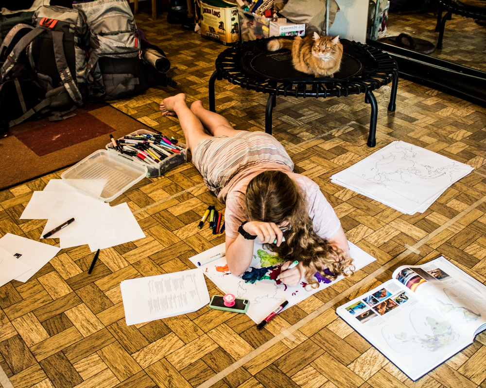
I wasn't super excited when the older kid chose to study AP Human Geography this year, but it is actually a fascinating subject, and now I'm stoked that we get to learn it!
When the kid decides what she wants to study, I generally go into research mode so that I can at least figure out a spine and a logical progression of knowledge/skills. It's more involved when it's an AP course, because we know she'll be tested on a specific knowledge/skill set, but still, this basic research method works.
As I was reading through other instructors' AP Human Geography syllabi, I came across a reference map project that I shamelessly stole.
In this project, the instructor has her students print outline maps of various regions of the world, and then label them according to her criteria. Not only can these maps then serve as reference and study material, added to when necessary, but also, a kid is going to memorize a LOT of that information just through the acts of researching it and then labeling the maps with it. The big kid, especially, learns very well through this kind of activity.
Although the instructor had her students use 8.5"x 11" outline maps, you all know that I have my own personal free, custom-sized map-printing website with which I am obsessed. Obviously, then, I printed 4x4 maps of all the regions using Megamaps.
And then the big kid and I spread out across the floor and assembled them!
I have the perfect method to assemble these maps so that they stay together but there's no tape on the front. You don't want your maps to fall apart, but you also want to be able to write and draw on them! What you do is first glue them together with a glue stick on their overlapping edges, and then immediately flip each one over and run Scotch tape along all the seams on the back. It is THE perfect method, and I expect you to do it only this way from now on.
 |
| So excited to label them that we couldn't even unpack from our camping trip first! |
That's a lot of geography learning that took place during this one project! I'm especially excited about the Africa map, as that one can do double-duty for the kid's African Studies class that she takes at our local university.
While I was printing these maps, I did print the giant-sized world map to replace the giant kid-made map of Europe that's been on our wall since the big kid took AP European History. I'm probably going to hold off on assembling, mounting, and having her label it, though, because surely the kid is sick of map labeling at the moment. Better to hold off until the spring, perhaps, and then use it as a review before the actual AP exam.
OR should I pay the little kid to paint us a world map mural, and then we can label that? A kid-created map mural might have an unwholesome amount of dragons and sea beasts, of course, but that just improves a map's overall accuracy, you know.
P.S. Want to see more dragons and sea beasts and maps and murals? Check out my Craft Knife Facebook page, where I post resources, WIPs, DIYs, and pictures of my cat.


No comments:
Post a Comment